Trail Maps
Maps and notes for the trails our friends and guests want to venture out to.
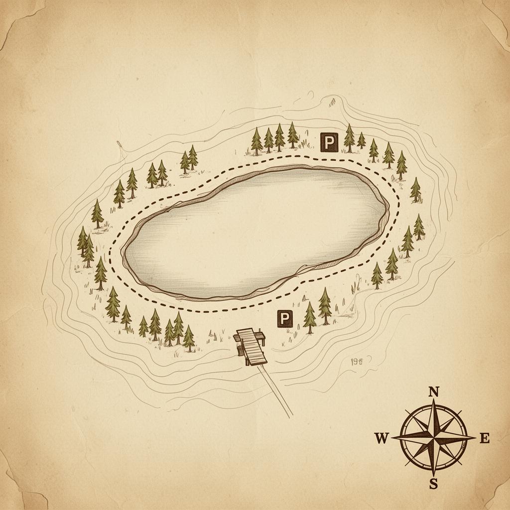
Easy · Loop
Lake Isabel Loop
-
Distance1.3 mi loop
-
Elevation≈ 60 ft
-
BestMay – September
-
Drive≈ 35 min from the ranch
Lake Isabel Day-Use Area, CO-165, San Isabel NF
37.9788° N, 105.0203° W
Getting there- From the ranch, head south on CO-165 toward San Isabel.
- Watch for the brown Forest Service sign — Lake Isabel Recreation Area.
- Turn into the day-use lot. Restrooms and water on site.
- 0.0 miStart at the day-use lot. Walk down to the lake's east shore.
- 0.3 miCross the small footbridge near the fishing dock.
- 0.7 miRound the far end of the lake — best bench for a sit.
- 1.3 miClose the loop back at the parking area.
Stroller-friendly on the paved sections; gravel on the back side. Trout fishing with a CO
license.
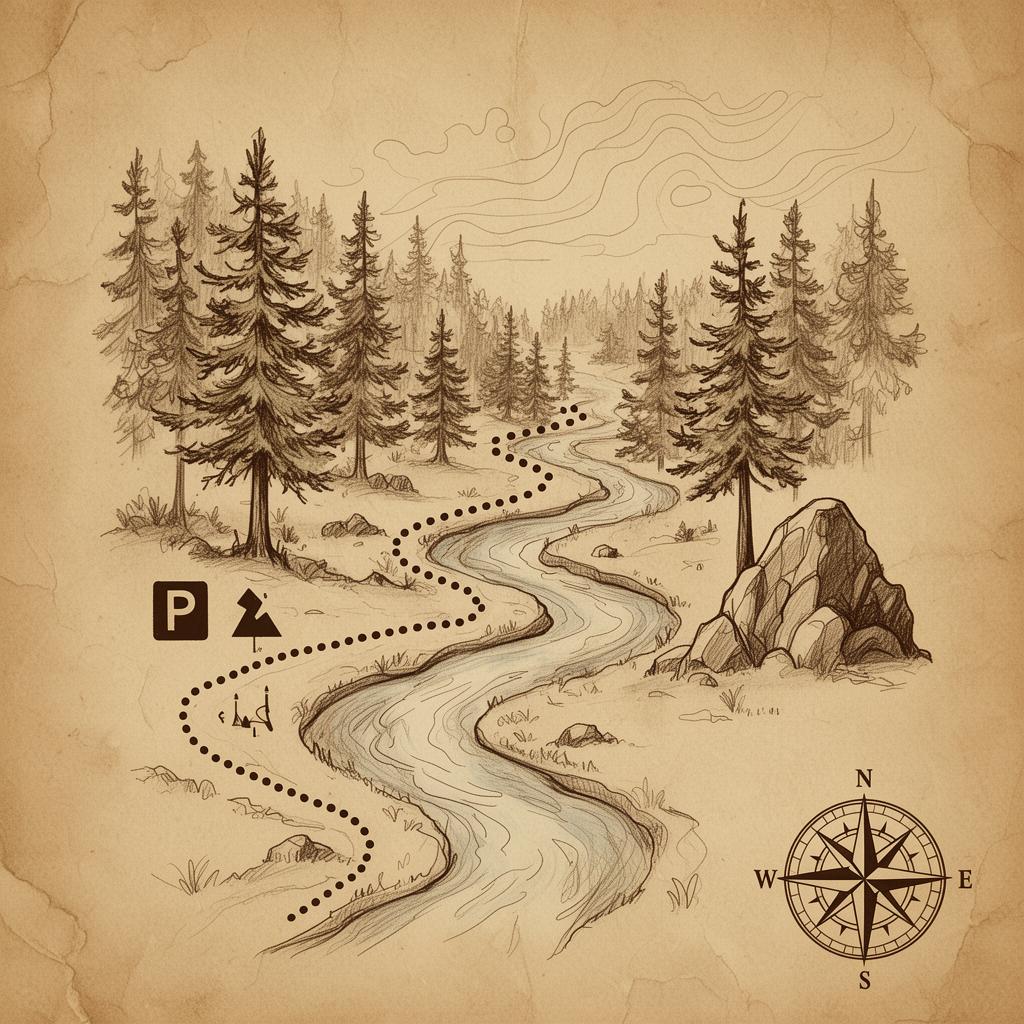
Easy · Out & Back
South Creek Trail
-
Distance2.7 mi out & back
-
Elevation≈ 470 ft
-
BestMay – September
-
Drive≈ 30 min from the ranch
Trail #1321, CO-165 mile ~15, near Greenhill Divide
37.9512° N, 105.0631° W
Getting there- Head south on CO-165 toward Greenhill Divide.
- About 0.7 mi north of the divide, watch for the small pull-off on the east side.
- A short rough drive (0.05 mi) drops you at the trailhead parking.
- 0.0 miTrail follows an old forest road through pine.
- 0.4 miBear left, cross the creek on stones.
- 0.9 miClimb to the rocky outcrop — turn-around point for shorter loop.
- 1.35 miSuggested turn-around (full route continues deeper into NF).
Motorcycles permitted on lower section — step aside on blind corners. Songbirds and
wildflowers in early summer.
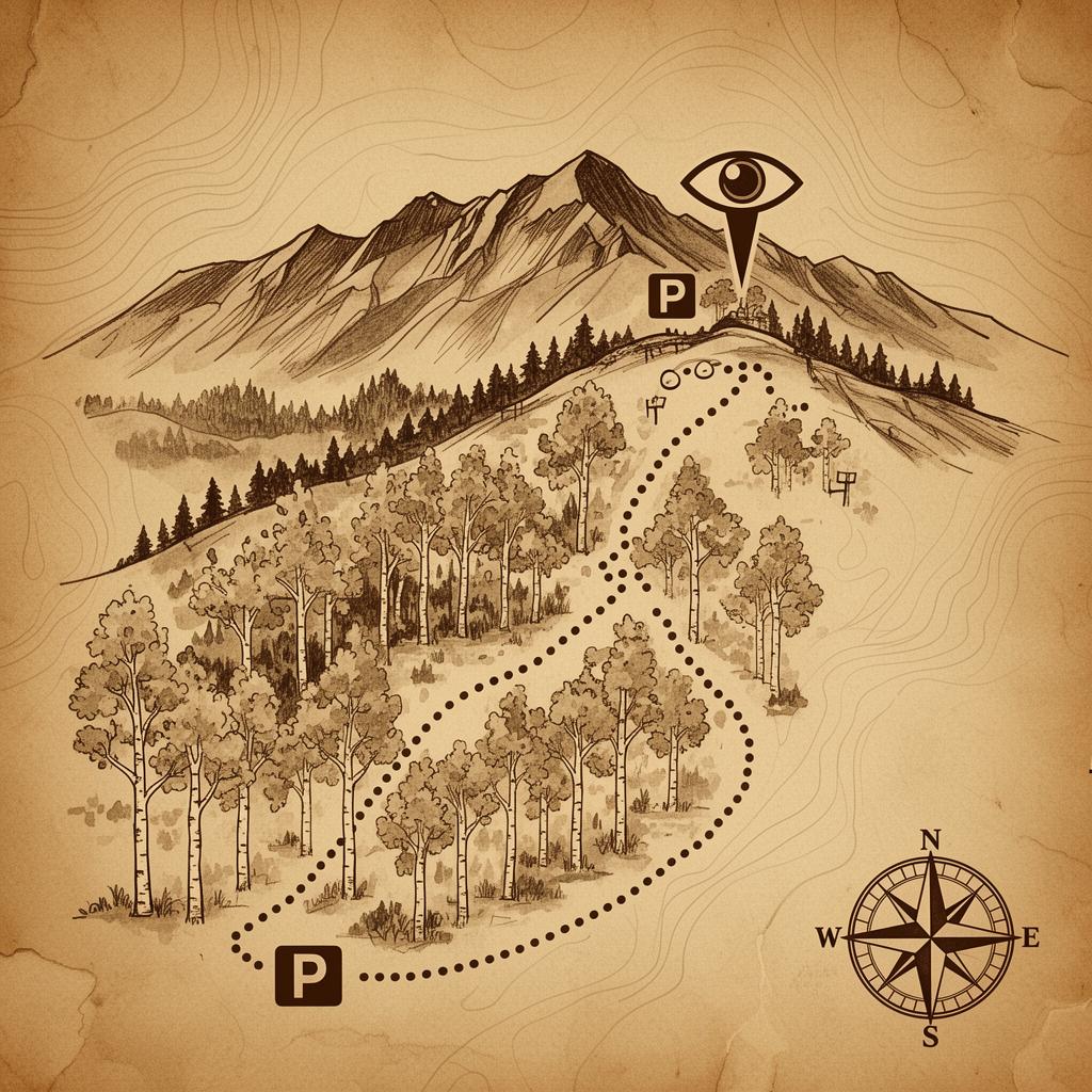
Moderate · Loop
Northridge & Mace Trail Loop
-
Distance2.6 mi loop
-
Elevation≈ 550 ft
-
BestMay – October
-
Drive≈ 45 min from the ranch
Pueblo Mountain Park, Beulah CO — Northridge / Devil's Canyon trailhead
38.0814° N, 104.9892° W
Getting there- Take CO-165 north, then CO-78 east toward Beulah.
- Follow signs into Pueblo Mountain Park.
- Park at the Northridge / Devil's Canyon trailhead.
- 0.0 miClimb Northridge through aspen — steady grade.
- 0.9 miTop out at the ridge overlook above Devil's Canyon.
- 1.6 miJunction with Mace Trail — bear right to descend.
- 2.6 miRoll back into the trailhead lot.
Best in cool morning light. Snowshoe-friendly in winter after a fresh storm.
Moderate · Out & Back
San Carlos Trail
-
Distance4.3 mi out & back
-
Elevation≈ 850 ft
-
BestApril – November
-
Drive≈ 40 min from the ranch
San Carlos Trail #1320, San Isabel NF, off CO-165
37.9621° N, 105.0411° W
Getting there- South on CO-165 past San Isabel.
- Watch for the San Carlos trailhead sign on the west side.
- Small dirt lot — limited spots on weekends.
- 0.0 miRoll through pine and meadow on a soft singletrack.
- 1.0 miCross San Carlos Creek (boots dry in summer).
- 1.8 miClimb to a small saddle — cool breeze, good snack stop.
- 2.15 miSuggested turn-around. Trail continues for stronger legs.
Dogs welcome on leash. Watch for afternoon thunderstorms June–August.
Moderate · Out & Back
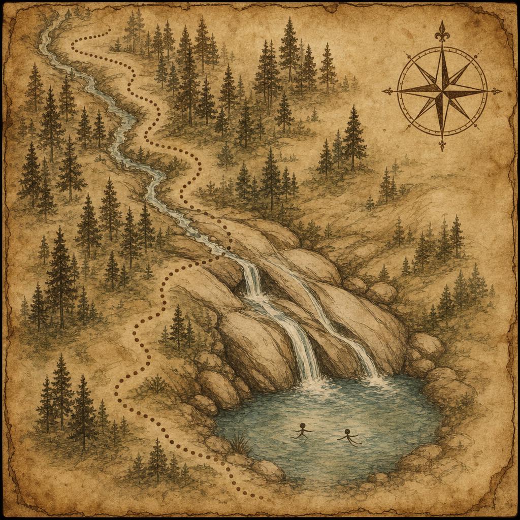
Natural Water Slide
-
Distance1.6 mi out & back
-
Elevation≈ 255 ft
-
BestJune – August
-
Drive≈ 40 min from the ranch
Natural Water Slide / St. Charles River, off CR-382 above Lake Isabel
37.9707° N, 105.05311° W
Getting there- Head south on CO-165 past San Isabel toward Lake Isabel.
- Just past Lake Isabel, turn right (west) onto Forest Road / CR-382 (Cisneros Park area).
- Follow the dirt road ~3 mi — slow, washboarded; watch for the small pull-off on the left.
- Park along the shoulder. Trail drops down toward the river — listen for the falls.
- 0.0 miFrom the pull-off, follow the singletrack downhill into spruce and fir.
- 1.0 miTrail steepens — loose dirt and roots. Take it slow on the descent.
- 1.8 miHop the small feeder creek; bear left toward the rushing water.
- 2.15 miArrive at the slide — smooth granite chutes and a clear plunge pool.
- 2.15 miClimb back the way you came. The return is the workout.
A local favorite. Bring old shorts or sturdy swimwear, water shoes, and a towel — the rock is slick. Best mid-summer when flow has eased and the pool is swimmable; high snowmelt in May/early June is dangerous. Pack out everything.
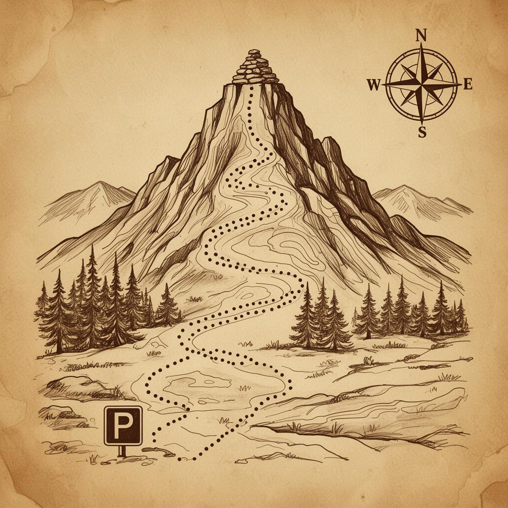
Difficult · Out & Back
Millset Trail
-
Distance6.5 mi out & back
-
Elevation≈ 1,400 ft
-
BestMay – October
-
Drive≈ 25 min from the ranch
Trail #1317 — 4.5 mi north of Rye on CO-165
37.9805° N, 105.0312° W
Getting there- South on CO-165 toward Rye.
- Watch for the small Forest Service sign 0.1 mi before the parking turnoff.
- Pull into the gravel lot on the east side of the highway.
- 0.0 miSteep first half-mile — pace yourself early.
- 0.5 miGrade eases. Forest opens to small meadows.
- 1.4 miSteep descent to creek crossing — slick when wet.
- 2.5 miClimb into the high meadow — elk sign everywhere.
- 3.25 miTurn-around at the open ridgeline. Lunch with a view.
Backcountry — carry water, layers, and a paper map. Cell service is unreliable.
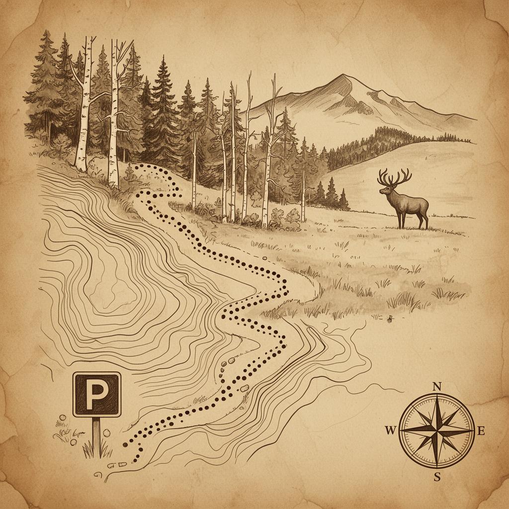
Difficult · Out & Back
Greenhorn Trail
-
Distance12.5 mi out & back
-
Elevation≈ 3,100 ft
-
BestLate June – September
-
Drive≈ 60 min from the ranch (FS road, high-clearance helpful)
Greenhorn Trail #1316, FS Road 369
37.8806° N, 105.0156° W
Getting there- South on CO-165, then west on Ophir Creek Road / FS-369.
- Follow FS-369 about 11 mi to the trailhead — slow and rocky.
- Park at the upper Greenhorn trailhead.
- 0.0 miWooded climb through spruce and bristlecone.
- 2.0 miTree line — pop out into alpine tundra.
- 4.5 miLong ridge walk along Greenhorn's shoulder.
- 6.25 miSummit, 12,347 ft. Sign the register.
- 12.5 miReturn the way you came.
Experienced hikers only. Start at sunrise to be off the summit before noon storms. No
water on route.
