Lake Isabel Loop
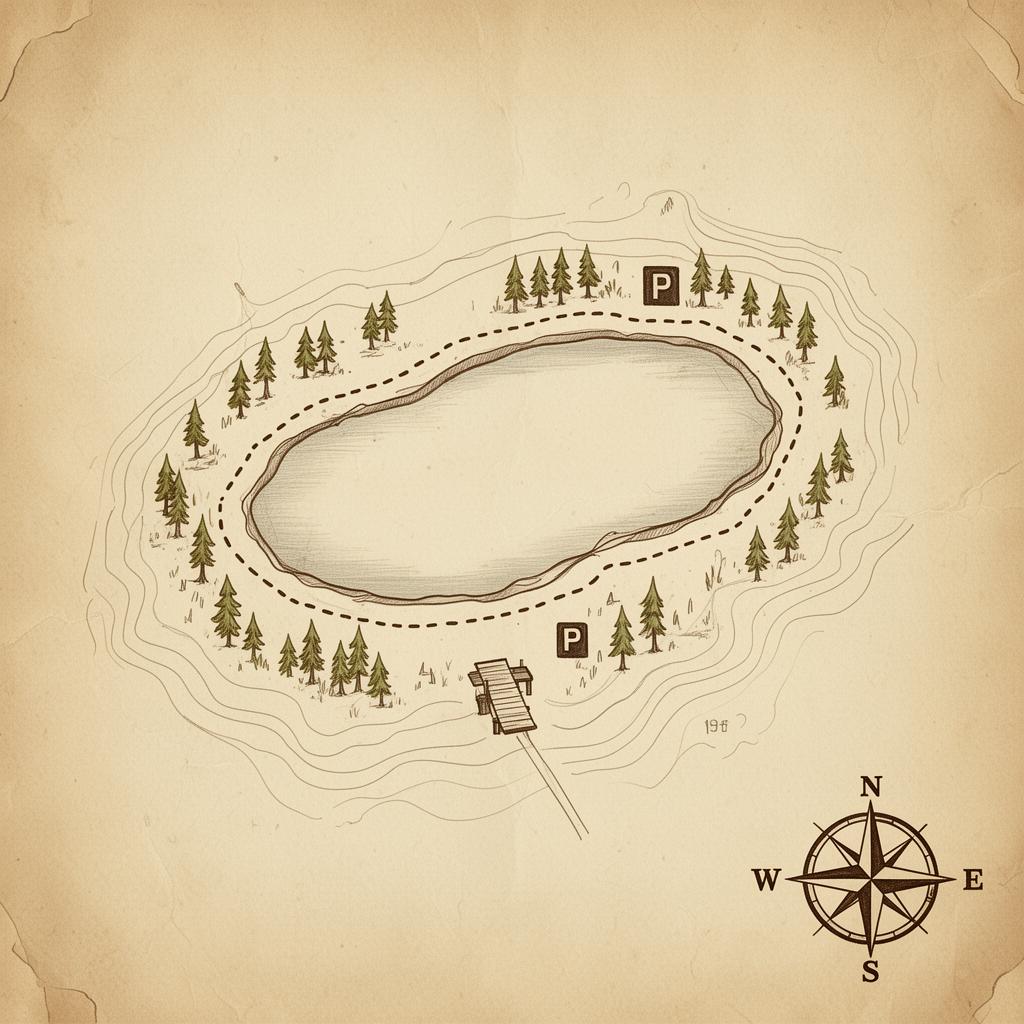
A short ramble along a glassy alpine lake where the spruce lean in close and rainbow trout cut the surface at dusk. The kind of walk where nobody complains and the fishing rods come out of the truck.
Step off the ranch and the West only gets bigger. From quiet aspen creek-walks the little wranglers can manage to high-country pushes that earn every breath, these are the trails we send guests toward when they ask, "Where do we go from here?" Mileage and seasons are listed for each — pack water, mind the weather, and take your time.
A short ramble along a glassy alpine lake where the spruce lean in close and rainbow trout cut the surface at dusk. The kind of walk where nobody complains and the fishing rods come out of the truck.
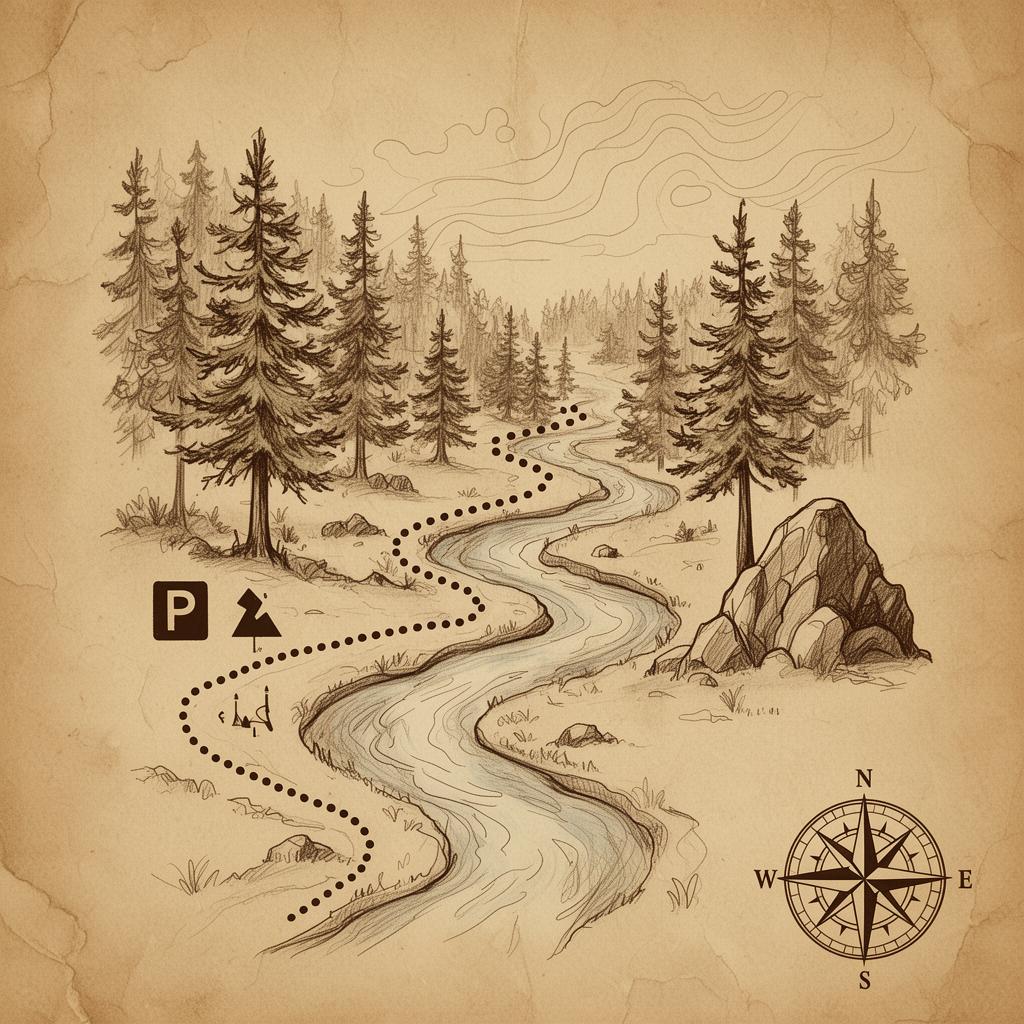
Follow the creek through pine and meadow on a wide, easy-going path. Bring binoculars — the songbirds put on a show, and the wildflowers don't ask permission to crowd the trail.
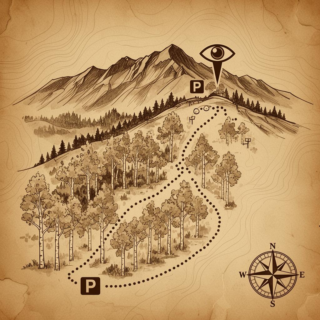
A tidy loop that climbs through aspen stands and opens onto ridge views worth the sweat. Roll it slow in the morning when the light comes sideways through the trees.
A real Colorado walk — rolling forest, the kind of quiet that settles the shoulders, and just enough climbing to remember you're at altitude. Great half-day pick when the sun's behaving.
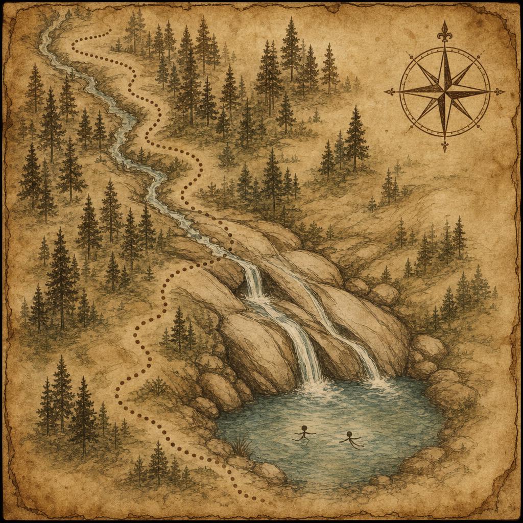
A local secret tucked into the San Isabel high country — a short scramble down to slick granite chutes where snowmelt has carved a real-deal natural waterslide into the bedrock. Bring an old pair of shorts, sturdy shoes, and a towel; the kids (and the not-so-kids) will not want to leave.
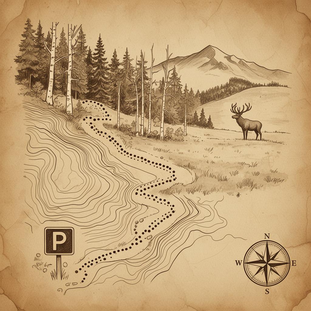
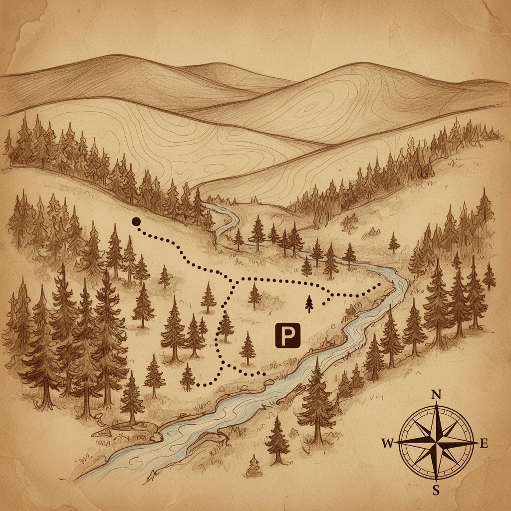
Backcountry through and through. Climbs into high meadow where elk leave their calling cards and the views feel borrowed from a postcard that hasn't been printed yet. Bring lunch — you'll want to sit a while.
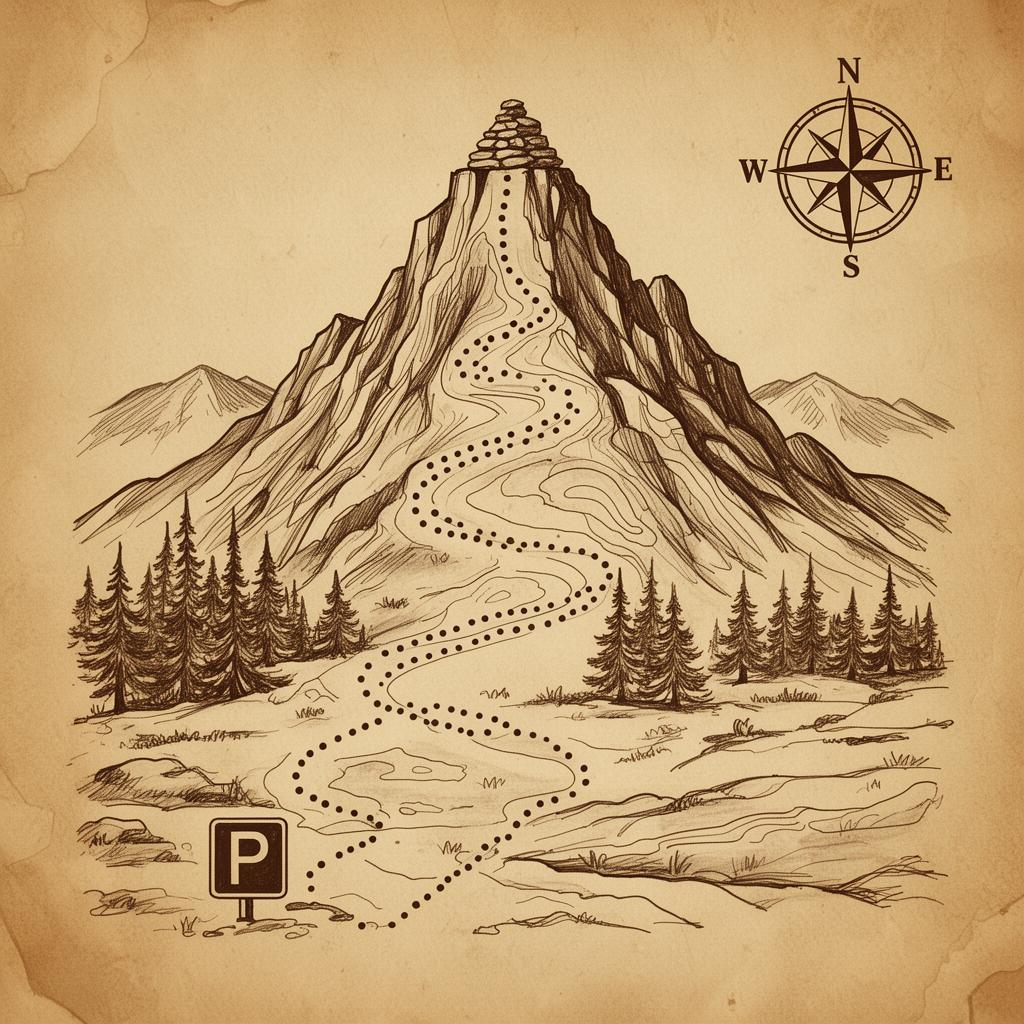
For experienced hikers only — a long, lung-burning push onto the shoulder of Greenhorn itself. Earn the summit, earn the silence, and earn the kind of bragging rights that don't need embellishing.

2026 Bear Canyon Ranch. All rights reserved.